


OR-7339248--Arbéost:circuit au départ d'arbeost

mitch1952
User
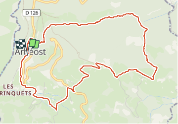

Length
7.2 km

Max alt
1122 m

Uphill gradient
402 m
Km-Effort
12.6 km

Min alt
767 m

Downhill gradient
400 m
Boucle
Yes
Creation date :
2020-02-04 08:37:21.515
Updated on :
2022-06-01 19:36:22.643
2h33
Difficulty : Medium

FREE GPS app for hiking
 SityTrail
IGN / Geographical institutes
SityTrail Plus
The world is yours!
About
Trail Walking of 7.2 km to be discovered at Occitania, Hautespyrenees, Arbéost. This trail is proposed by mitch1952.
Positioning
Country:
France
Region :
Occitania
Department/Province :
Hautespyrenees
Municipality :
Arbéost
Location:
Unknown
Start:(Dec)
Start:(UTM)
721199 ; 4764085 (30T) N.
Comments