


Cuers ND de santé Ste Christine

chrifor
User
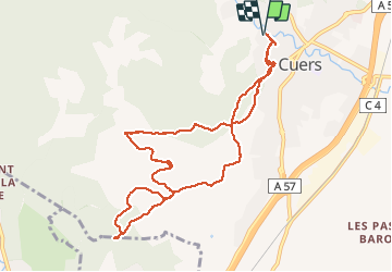

Length
11.1 km

Max alt
361 m

Uphill gradient
345 m
Km-Effort
15.7 km

Min alt
150 m

Downhill gradient
345 m
Boucle
Yes
Creation date :
2020-02-04 11:15:52.353
Updated on :
2020-02-04 15:25:40.692
4h09
Difficulty : Very easy

FREE GPS app for hiking
 SityTrail
IGN / Geographical institutes
SityTrail Plus
The world is yours!
About
Trail Walking of 11.1 km to be discovered at Provence-Alpes-Côte d'Azur, Var, Cuers. This trail is proposed by chrifor.
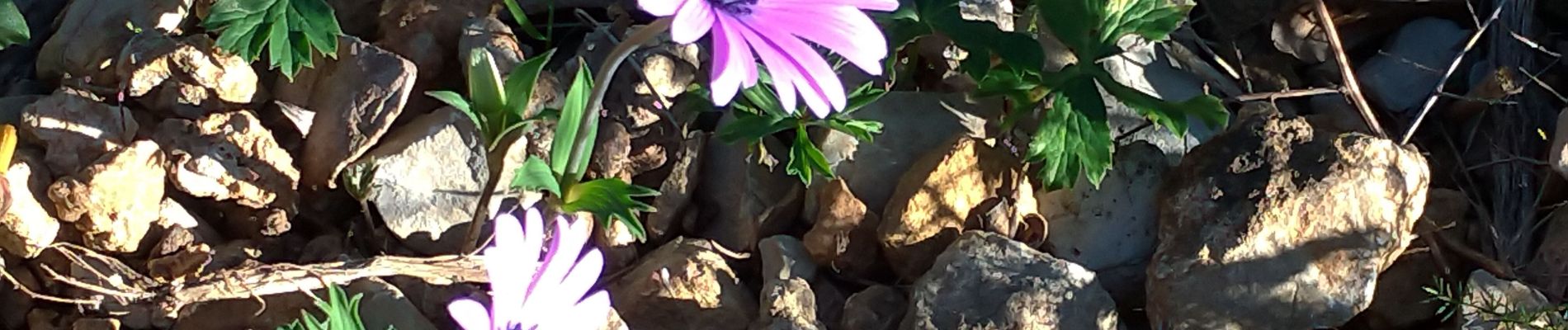
Photos


Positioning
Country:
France
Region :
Provence-Alpes-Côte d'Azur
Department/Province :
Var
Municipality :
Cuers
Location:
Unknown
Start:(Dec)
Start:(UTM)
261869 ; 4791707 (32T) N.
Comments