


Bas breau 04-02-2020

robinier
User
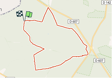

Length
9.5 km

Max alt
150 m

Uphill gradient
122 m
Km-Effort
11.2 km

Min alt
88 m

Downhill gradient
125 m
Boucle
Yes
Creation date :
2020-02-04 08:17:04.0
Updated on :
2020-02-07 12:52:34.907
2h25
Difficulty : Unknown

FREE GPS app for hiking
 SityTrail
IGN / Geographical institutes
SityTrail Plus
The world is yours!
About
Trail Walking of 9.5 km to be discovered at Ile-de-France, Seine-et-Marne, Fontainebleau. This trail is proposed by robinier.
Positioning
Country:
France
Region :
Ile-de-France
Department/Province :
Seine-et-Marne
Municipality :
Fontainebleau
Location:
Unknown
Start:(Dec)
Start:(UTM)
472233 ; 5365311 (31U) N.
Comments