


La banne d'Ordanche

viam19
User
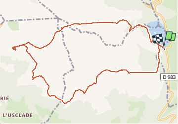

Length
13.3 km

Max alt
1476 m

Uphill gradient
451 m
Km-Effort
19.3 km

Min alt
1244 m

Downhill gradient
451 m
Boucle
Yes
Creation date :
2020-02-08 09:11:50.634
Updated on :
2020-02-08 20:08:50.994
6h13
Difficulty : Medium

FREE GPS app for hiking
 SityTrail
IGN / Geographical institutes
SityTrail Plus
The world is yours!
About
Trail Walking of 13.3 km to be discovered at Auvergne-Rhône-Alpes, Puy-de-Dôme, Saulzet-le-Froid. This trail is proposed by viam19.
Description
Randonnée en boucle par le Puy Gros avec vue imprenable sur le massif du Sancy.
Photos


Positioning
Country:
France
Region :
Auvergne-Rhône-Alpes
Department/Province :
Puy-de-Dôme
Municipality :
Saulzet-le-Froid
Location:
Unknown
Start:(Dec)
Start:(UTM)
486262 ; 5050934 (31T) N.
Comments