


Cuq Crémail Rando 65

mitch1952
User
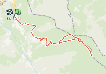

Length
13 km

Max alt
1673 m

Uphill gradient
901 m
Km-Effort
25 km

Min alt
770 m

Downhill gradient
902 m
Boucle
Yes
Creation date :
2020-02-09 17:34:38.418
Updated on :
2022-06-01 19:39:59.149
5h00
Difficulty : Very difficult

FREE GPS app for hiking
 SityTrail
IGN / Geographical institutes
SityTrail Plus
The world is yours!
About
Trail Walking of 13 km to be discovered at Occitania, Hautespyrenees, Gazost. This trail is proposed by mitch1952.
Positioning
Country:
France
Region :
Occitania
Department/Province :
Hautespyrenees
Municipality :
Gazost
Location:
Unknown
Start:(Dec)
Start:(UTM)
256197 ; 4768667 (31T) N.
Comments