


2020 03 12 St Genest Lerpt Condamine

psesjs
User

Length
23 km

Max alt
641 m

Uphill gradient
559 m
Km-Effort
30 km

Min alt
428 m

Downhill gradient
556 m
Boucle
Yes
Creation date :
2020-02-12 08:10:41.672
Updated on :
2020-02-12 15:21:53.044
6h50
Difficulty : Difficult

FREE GPS app for hiking
 SityTrail
IGN / Geographical institutes
SityTrail Plus
The world is yours!
About
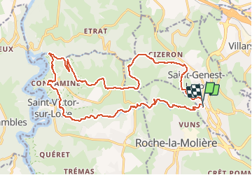
Trail Walking of 23 km to be discovered at Auvergne-Rhône-Alpes, Loire, Saint-Genest-Lerpt. This trail is proposed by psesjs.
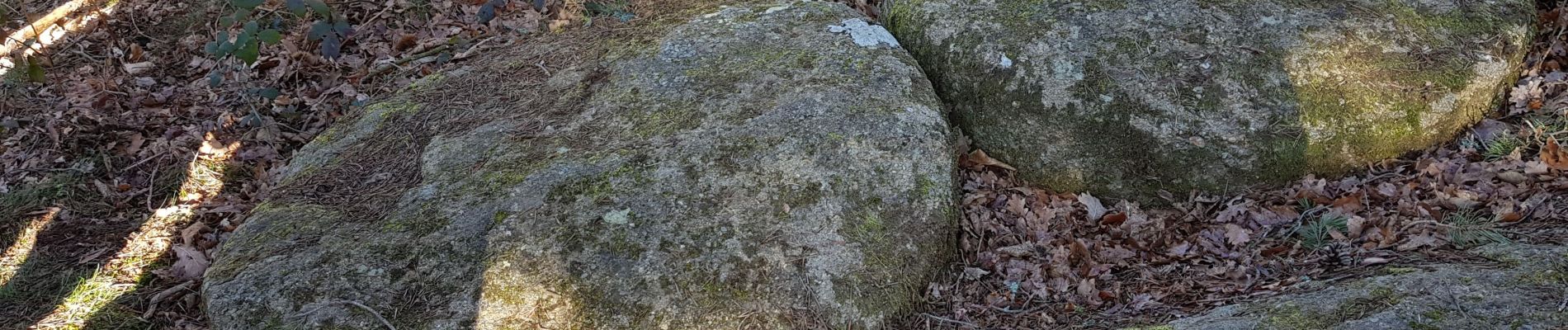
Photos


Positioning
Country:
France
Region :
Auvergne-Rhône-Alpes
Department/Province :
Loire
Municipality :
Saint-Genest-Lerpt
Location:
Unknown
Start:(Dec)
Start:(UTM)
604324 ; 5033595 (31T) N.
Comments