


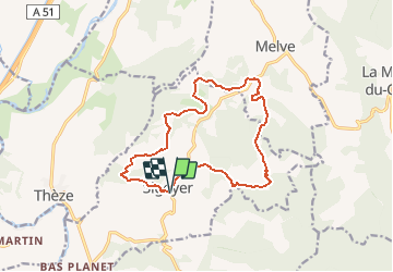
Boucle Croix de la Biousse

claude nier
User

Length
14.7 km

Max alt
895 m

Uphill gradient
491 m
Km-Effort
21 km

Min alt
651 m

Downhill gradient
486 m
Boucle
Yes
Creation date :
2020-02-13 11:20:12.595
Updated on :
2020-02-13 11:21:26.562
--
Difficulty : Medium

FREE GPS app for hiking
 SityTrail
IGN / Geographical institutes
SityTrail Plus
The world is yours!
About
Trail On foot of 14.7 km to be discovered at Provence-Alpes-Côte d'Azur, Alpes-de-Haute-Provence, Sigoyer. This trail is proposed by claude nier.
Description
belle rando
classe moyen car 15 kms
Positioning
Country:
France
Region :
Provence-Alpes-Côte d'Azur
Department/Province :
Alpes-de-Haute-Provence
Municipality :
Sigoyer
Location:
Unknown
Start:(Dec)
Start:(UTM)
735920 ; 4911536 (31T) N.
Comments