


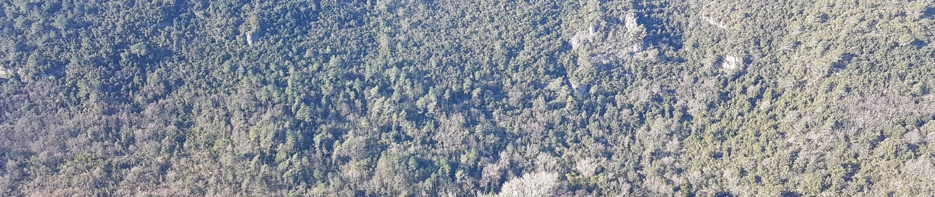
Chapelle Saturnin et bord de Siagne

Renefrt
User
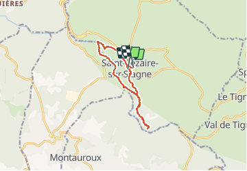

Length
12.1 km

Max alt
485 m

Uphill gradient
518 m
Km-Effort
19 km

Min alt
169 m

Downhill gradient
526 m
Boucle
No
Creation date :
2020-02-13 08:44:25.571
Updated on :
2020-02-13 15:07:26.993
6h21
Difficulty : Medium

FREE GPS app for hiking
 SityTrail
IGN / Geographical institutes
SityTrail Plus
The world is yours!
About
Trail Walking of 12.1 km to be discovered at Provence-Alpes-Côte d'Azur, Maritime Alps, Saint-Cézaire-sur-Siagne. This trail is proposed by Renefrt.
Photos


Positioning
Country:
France
Region :
Provence-Alpes-Côte d'Azur
Department/Province :
Maritime Alps
Municipality :
Saint-Cézaire-sur-Siagne
Location:
Unknown
Start:(Dec)
Start:(UTM)
321886 ; 4835380 (32T) N.
Comments