Trail Walking Causses-et-Veyran -  Causses-et-Veyran / Chaos de Réals (Gourniès) / Viranel / Combe longue - Photo

Causses-et-Veyran / Chaos de Réals (Gourniès) / Viranel / Combe longue

© OpenStreetMap contributors
Length
Length
13.3 km
Max alt
Max alt
155 m
Uphill gradient
Uphill gradient
234 m
Km-Effort
Km-Effort  
16.4 km
Min alt
Min alt
38 m
Downhill gradient
Downhill gradient
239 m
Boucle
Boucle
Yes
Creation date :
2020-02-20 08:06:24.0
Updated on :
2020-02-29 19:14:24.604

(0 Reviews)

Walking
Walking
4h26
Difficulty : Medium

Scan this QR Code to open this trail in the SityTrail application

FREE GPS app for hiking

Logo SityTrail SityTrail

IGN / Geographical institutes

Download SityTrail from the App Store Download SityTrail from Google Play

Logo SityTrail SityTrail World

The world is yours!

Download SityTrail from the App Store Download SityTrail from Google Play Download SityTrail on Huawei AppGallery

About

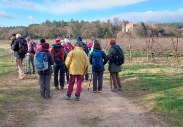
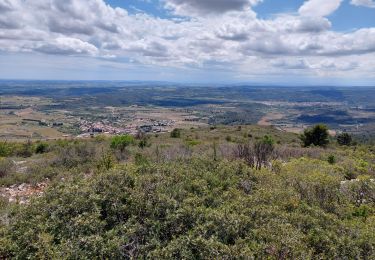
Trail Walking of 13.3 km to be discovered at Occitania, Hérault, Causses-et-Veyran. This trail is proposed by PiloudeBamako.

Description

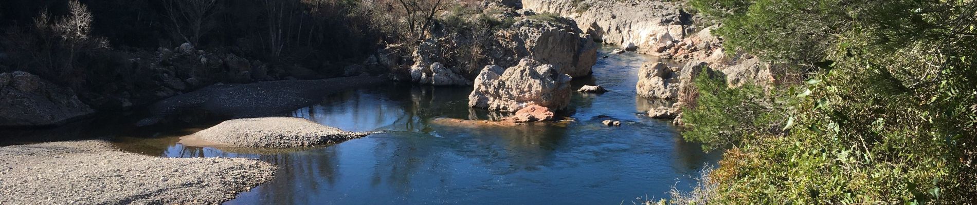
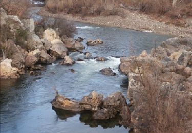
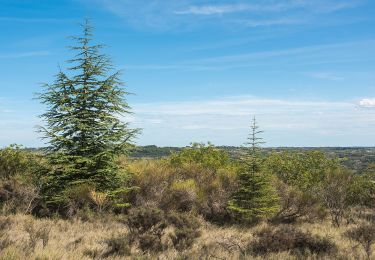
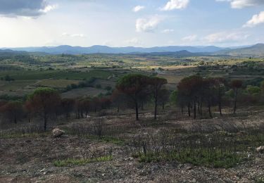
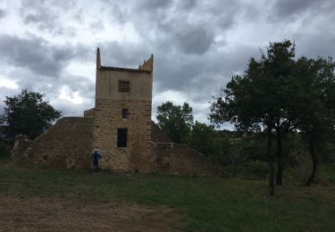
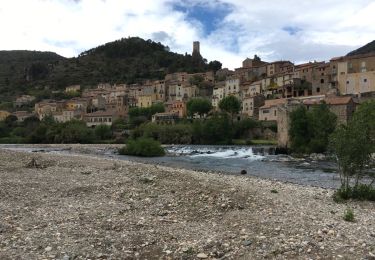
Boucle au sud de Causses-et-Veyran jusqu'à l'orbite (chaos de Réals à Gourniès). Retour le long du fleuve puis remontée au Nord à Viranel.

Elevation profile

Photos

Positioning

Country:
France
Region :
Occitania
Department/Province :
Hérault
Municipality :
Causses-et-Veyran
Location:
Unknown
Start:(UTM)
507072 ; 4812862 (31T) N.

Trails nearby

Trail Walking Cessenon-sur-Orb - Cessenon Rives de l'Orb - Photo
Walking
jdelettrez

Walking

Easy
(2)
Cessenon-sur-Orb, Occitania, Hérault, France
12.5 km | 14.4 km-effort
3h 11min
Yes
Trail Walking Cessenon-sur-Orb - Reals et les gravieres de Savignac - Photo
Walking
Raymond DAVID

Walking

Medium
Cessenon-sur-Orb, Occitania, Hérault, France
16.7 km | 20 km-effort
5h 0min
Yes
Trail Walking Causses-et-Veyran - Mont Peyroux (Causses et Veyran) - Photo
Walking
Raymond DAVID

Walking

Difficult
Causses-et-Veyran, Occitania, Hérault, France
14.4 km | 22 km-effort
5h 30min
Yes
Trail On foot Murviel-lès-Béziers - Le Pech Belet - Circuit A - Photo
On foot
PRO

On foot

Easy
(1)
Murviel-lès-Béziers, Occitania, Hérault, France
3.4 km | 4.8 km-effort
1h 5min
Yes
Trail Walking Murviel-lès-Béziers - Circuit le Pech Belet - Photo
Walking
Faco

Walking

Medium
Murviel-lès-Béziers, Occitania, Hérault, France
9.4 km | 11 km-effort
1h 2min
No
Trail Running Murviel-lès-Béziers - Circuit des Pigeonniers - Murviel-les-Béziers - Photo
Running
PiloudeBamako

Running

Medium
(1)
Murviel-lès-Béziers, Occitania, Hérault, France
9.5 km | 11.6 km-effort
1h 20min
Yes
Trail Walking Causses-et-Veyran - Marche - Tour des Chaos dolomitiques de REALS - Photo
Walking
Couguar5

Walking

Medium
Causses-et-Veyran, Occitania, Hérault, France
5.5 km | 7.7 km-effort
1h 53min
Yes
Trail Walking Roquebrun - roquebrun nord - Photo
Walking
mrclic34

Walking

Easy
(1)
Roquebrun, Occitania, Hérault, France
9.7 km | 14.3 km-effort
2h 58min
Yes
Trail Walking Roquebrun - roquebrun sud - Photo
Walking
mrclic34

Walking

Very easy
Roquebrun, Occitania, Hérault, France
9 km | 12.1 km-effort
2h 35min
Yes


Close
My subscriptions