


SENTIER BARTHÉLEMY

surceneux
User

Length
7.8 km

Max alt
965 m

Uphill gradient
321 m
Km-Effort
12.1 km

Min alt
741 m

Downhill gradient
329 m
Boucle
Yes
Creation date :
2020-02-23 13:36:49.635
Updated on :
2020-02-23 17:48:20.148
2h09
Difficulty : Very easy

FREE GPS app for hiking
 SityTrail
IGN / Geographical institutes
SityTrail Plus
The world is yours!
About
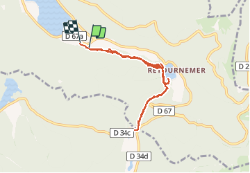
Trail Walking of 7.8 km to be discovered at Grand Est, Vosges, Xonrupt-Longemer. This trail is proposed by surceneux.
Description
Longemer Retournemer par sentier AR
sentier Barthélemy AR disque bleu
Positioning
Country:
France
Region :
Grand Est
Department/Province :
Vosges
Municipality :
Xonrupt-Longemer
Location:
Unknown
Start:(Dec)
Start:(UTM)
348295 ; 5325139 (32U) N.
Comments