


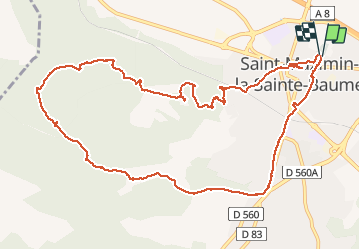


14.2 km | 18.3 km-effort

User


FREE GPS app for hiking
 SityTrail
IGN / Geographical institutes
SityTrail World
The world is yours!
Trail Walking of 13.6 km to be discovered at Provence-Alpes-Côte d'Azur, Var, Saint-Maximin-la-Sainte-Baume. This trail is proposed by jean-marie.parachini.
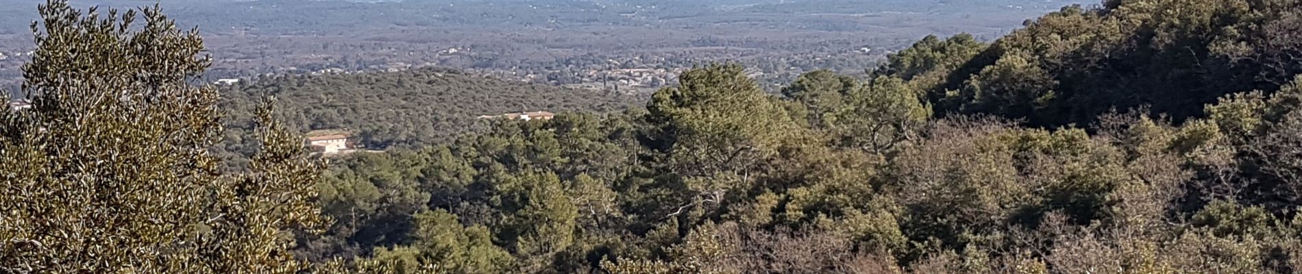
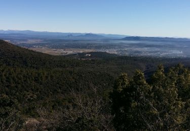
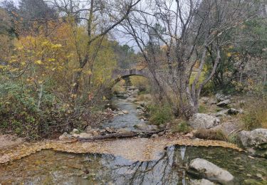
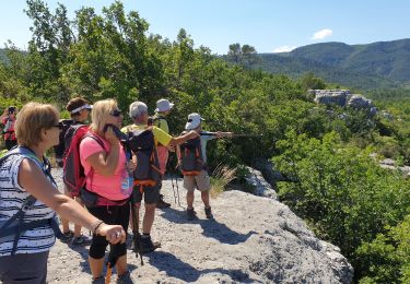
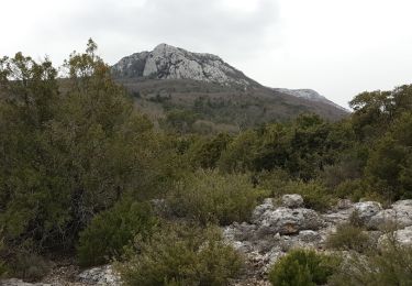
parcours autour de Saint Maximin avec des panoramas vers la ville et la Basilique Sainte Marie Madeleine, les Alpes enneigées, la Sainte Baume, la montagne Sainte Victoire.


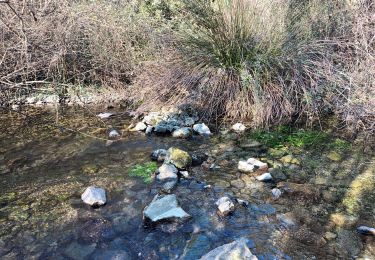
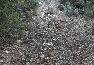
34 photos in total. Please click on a photo to see them all in the gallery.

On foot
Walking
Walking
Walking
Walking
Walking
Other activity
Walking

Walking