le tour de Chalamet

bouviak
User


Length
10.7 km

Max alt
846 m

Uphill gradient
598 m
Km-Effort
18.7 km

Min alt
395 m

Downhill gradient
601 m
Boucle
Yes
Creation date :
2020-02-23 12:38:33.892
Updated on :
2020-02-23 19:30:18.99
3h51
Difficulty : Medium

FREE GPS app for hiking
 SityTrail
IGN / Geographical institutes
SityTrail Plus
The world is yours!
About
Trail Walking of 10.7 km to be discovered at Auvergne-Rhône-Alpes, Drôme, Ourches. This trail is proposed by bouviak.
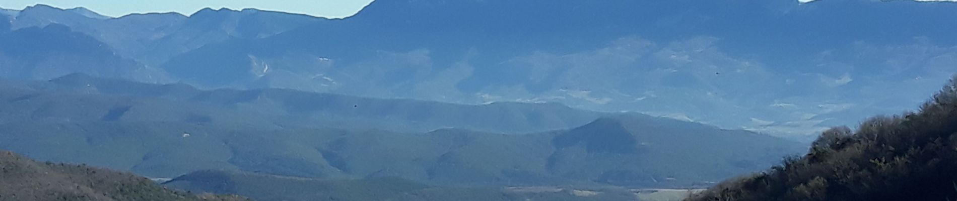
Photos


Positioning
Country:
France
Region :
Auvergne-Rhône-Alpes
Department/Province :
Drôme
Municipality :
Ourches
Location:
Unknown
Start:(Dec)
Start:(UTM)
662587 ; 4963313 (31T) N.
Comments