


Muzillac: Circuit des Chouans (officiel)

patrickdanilo
User


2h01
Difficulty : Easy

FREE GPS app for hiking
 SityTrail
IGN / Geographical institutes
SityTrail Plus
The world is yours!
About
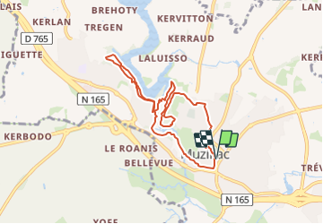
Trail Walking of 7.8 km to be discovered at Brittany, Morbihan, Muzillac. This trail is proposed by patrickdanilo.
Description
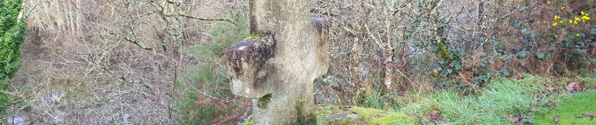
Ce circuit, qui débute dans le centre de Muzillac, traverse l'ancien quartier de Bourg Paul et rejoint l'ancien moulin et le site naturel de l'étang de Pen-Mur associé à une page historique de notre région : la Chouannerie. Son cheminement est en partie commun avec le GR 349. Retrouvez ce circuit sous forme de fiche rando dans les Offices de Tourisme de Muzillac, Damgan et La Roche-Bernard. Pour plus d'informations : www.damgan-larochebernard-tourisme.com Balisage : jaune.
Photos
 - Photo 1")
 - Photo 2")
 - Photo 3")
 - Photo 4")
 - Photo 5")
Positioning
Comments