


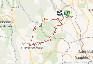
MANE Saint Michel Observatoire o

RobinMicheline
User GUIDE


6h23
Difficulty : Difficult

FREE GPS app for hiking
 SityTrail
IGN / Geographical institutes
SityTrail Plus
The world is yours!
About
Trail Walking of 18.1 km to be discovered at Provence-Alpes-Côte d'Azur, Alpes-de-Haute-Provence, Mane. This trail is proposed by RobinMicheline.
Description
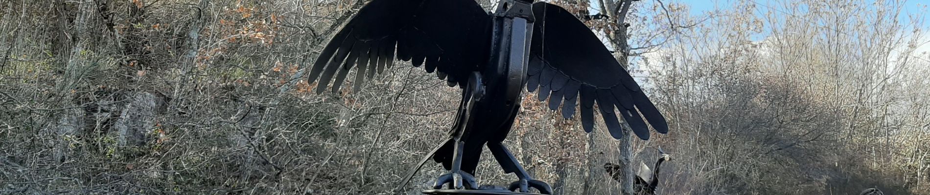
SUPER . Pont Romain ; Carrieres de Mane . Chapelle de Porcheres . Moulin a vent . Chapelle Haute . Lavoir de la Marceline . Coupoles . Chapelle S Jean . Autre chapelle . Artiste ferronnier
Photos


Positioning
Comments