20200226 le Coucou Le Blavet Pierre

Sugg
User


Length
16.3 km

Max alt
419 m

Uphill gradient
463 m
Km-Effort
22 km

Min alt
91 m

Downhill gradient
465 m
Boucle
Yes
Creation date :
2020-02-26 08:04:05.143
Updated on :
2020-02-26 16:02:03.617
6h34
Difficulty : Medium

FREE GPS app for hiking
 SityTrail
IGN / Geographical institutes
SityTrail Plus
The world is yours!
About
Trail Walking of 16.3 km to be discovered at Provence-Alpes-Côte d'Azur, Var, Bagnols-en-Forêt. This trail is proposed by Sugg.
Description
rando RF
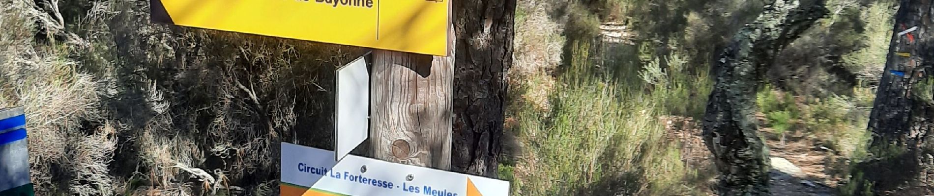
Photos

Positioning
Country:
France
Region :
Provence-Alpes-Côte d'Azur
Department/Province :
Var
Municipality :
Bagnols-en-Forêt
Location:
Unknown
Start:(Dec)
Start:(UTM)
310511 ; 4822217 (32T) N.
Comments