


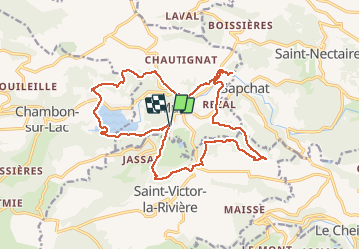

11.4 km | 16.6 km-effort


User


FREE GPS app for hiking
 SityTrail
IGN / Geographical institutes
SityTrail World
The world is yours!
Trail Walking of 19.7 km to be discovered at Auvergne-Rhône-Alpes, Puy-de-Dôme, Murol. This trail is proposed by GilGry.
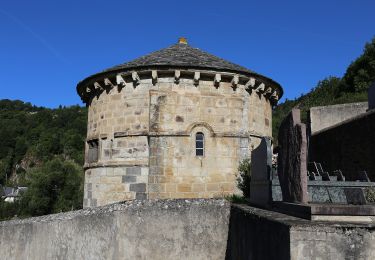
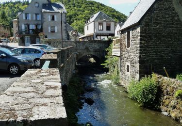
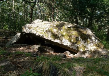
Lac Chambon - Vestiges du chateau de Varennes - Rocher de l'horloge - Corniche avec vue sur la Dent du Marais - Château de Murol - La roche romaine - Puy de Bessolles
Attention j'ai des passages en hors piste. ( A modifier si vous le souhaitez)


Walking
Walking
Walking

Walking

Walking
On foot
On foot
On foot

On foot