


amonines 3/03/2020

japy54
User GUIDE
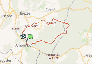

Length
13.4 km

Max alt
517 m

Uphill gradient
352 m
Km-Effort
18.1 km

Min alt
290 m

Downhill gradient
353 m
Boucle
Yes
Creation date :
2020-03-03 09:45:05.056
Updated on :
2020-03-03 15:21:29.949
3h05
Difficulty : Medium

FREE GPS app for hiking
 SityTrail
IGN / Geographical institutes
SityTrail Plus
The world is yours!
About
Trail Walking of 13.4 km to be discovered at Wallonia, Luxembourg, Érezée. This trail is proposed by japy54.
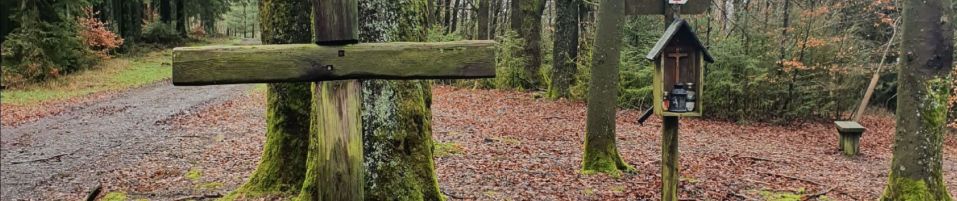
Photos


Positioning
Country:
Belgium
Region :
Wallonia
Department/Province :
Luxembourg
Municipality :
Érezée
Location:
Amonines
Start:(Dec)
Start:(UTM)
682575 ; 5571568 (31U) N.
Comments