


Via la du Tarn

machafla
User


Length
14.1 km

Max alt
700 m

Uphill gradient
414 m
Km-Effort
19.6 km

Min alt
485 m

Downhill gradient
414 m
Boucle
Yes
Creation date :
2020-03-04 13:19:21.449
Updated on :
2020-03-04 17:21:47.986
4h00
Difficulty : Very easy

FREE GPS app for hiking
 SityTrail
IGN / Geographical institutes
SityTrail Plus
The world is yours!
About
Trail Walking of 14.1 km to be discovered at Occitania, Aveyron, Viala-du-Tarn. This trail is proposed by machafla.
Description
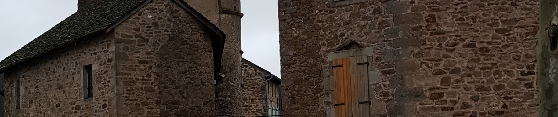
du Viala à st Etienne de Mielhas
Photos


Positioning
Country:
France
Region :
Occitania
Department/Province :
Aveyron
Municipality :
Viala-du-Tarn
Location:
Unknown
Start:(Dec)
Start:(UTM)
490144 ; 4879893 (31T) N.
Comments