


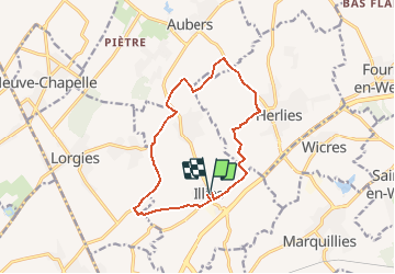

13 km | 13.7 km-effort


User


FREE GPS app for hiking
 SityTrail
IGN / Geographical institutes
SityTrail World
The world is yours!
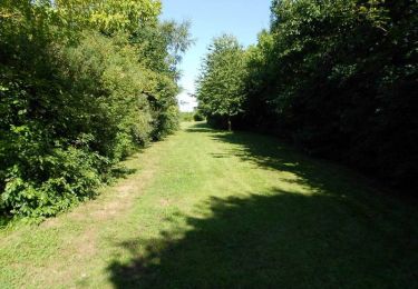
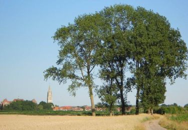
Trail On foot of 11.8 km to be discovered at Hauts-de-France, Nord, Illies. This trail is proposed by eaea7charles.
au départ de l'église de Illies, randonnée à travers la campagne

Walking
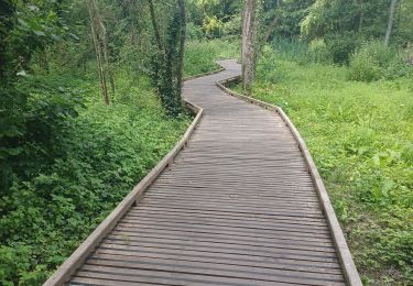
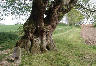
Walking
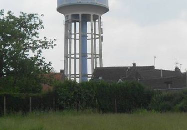
Walking

Walking
Walking
Walking
Mountain bike

Walking