


FONT DE MAI NICOLAS ODILE ET LES 3 ZÈBRES

harydh
User GUIDE
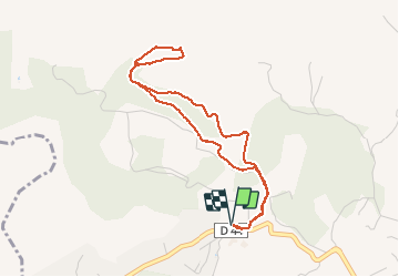

Length
4.5 km

Max alt
313 m

Uphill gradient
131 m
Km-Effort
6.3 km

Min alt
198 m

Downhill gradient
130 m
Boucle
Yes
Creation date :
2020-03-06 09:18:24.553
Updated on :
2020-03-06 10:55:46.199
1h12
Difficulty : Easy

FREE GPS app for hiking
 SityTrail
IGN / Geographical institutes
SityTrail Plus
The world is yours!
About
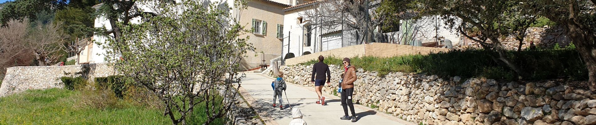
Trail Walking of 4.5 km to be discovered at Provence-Alpes-Côte d'Azur, Bouches-du-Rhône, Aubagne. This trail is proposed by harydh.
Photos


Positioning
Country:
France
Region :
Provence-Alpes-Côte d'Azur
Department/Province :
Bouches-du-Rhône
Municipality :
Aubagne
Location:
Unknown
Start:(Dec)
Start:(UTM)
706390 ; 4798300 (31T) N.
Comments