


revin.malgré tout.2020.03.06

trusgnachjf
User
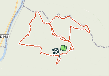

Length
13.9 km

Max alt
437 m

Uphill gradient
512 m
Km-Effort
21 km

Min alt
192 m

Downhill gradient
513 m
Boucle
Yes
Creation date :
2020-03-06 08:31:11.176
Updated on :
2020-03-06 12:30:50.843
3h56
Difficulty : Very easy

FREE GPS app for hiking
 SityTrail
IGN / Geographical institutes
SityTrail Plus
The world is yours!
About
Trail Walking of 13.9 km to be discovered at Grand Est, Ardennes, Revin. This trail is proposed by trusgnachjf.
Positioning
Country:
France
Region :
Grand Est
Department/Province :
Ardennes
Municipality :
Revin
Location:
Unknown
Start:(Dec)
Start:(UTM)
620826 ; 5534196 (31U) N.
Comments