


Issambres

Benteux
User
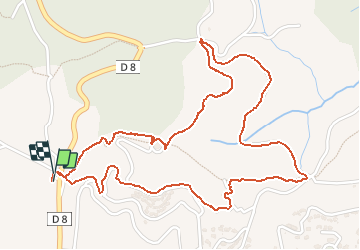

Length
3.4 km

Max alt
232 m

Uphill gradient
137 m
Km-Effort
5.2 km

Min alt
148 m

Downhill gradient
135 m
Boucle
Yes
Creation date :
2020-03-10 12:48:18.707
Updated on :
2020-03-10 15:01:22.15
2h12
Difficulty : Very easy

FREE GPS app for hiking
 SityTrail
IGN / Geographical institutes
SityTrail Plus
The world is yours!
About
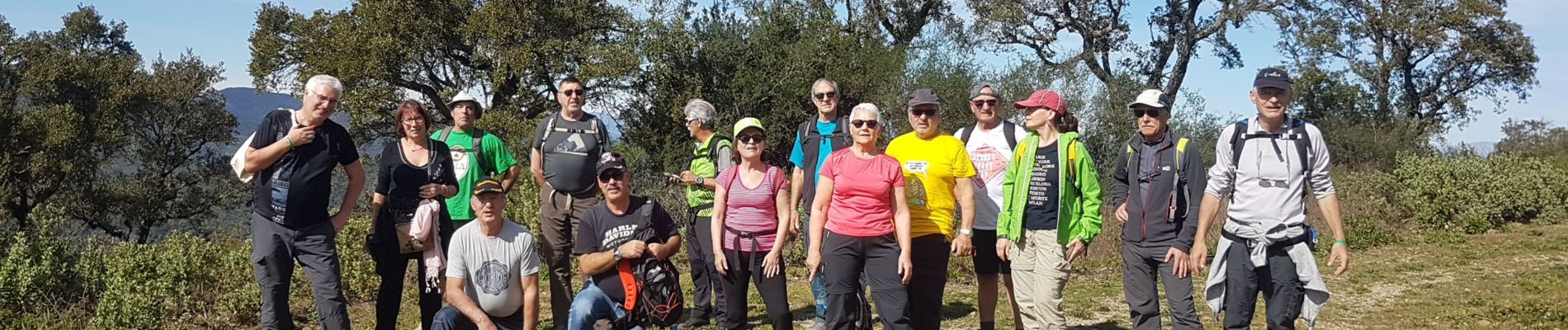
Trail Walking of 3.4 km to be discovered at Provence-Alpes-Côte d'Azur, Var, Roquebrune-sur-Argens. This trail is proposed by Benteux.
Description
marche
Photos


Positioning
Country:
France
Region :
Provence-Alpes-Côte d'Azur
Department/Province :
Var
Municipality :
Roquebrune-sur-Argens
Location:
Unknown
Start:(Dec)
Start:(UTM)
311460 ; 4803785 (32T) N.
Comments