


MontBarral

claude nier
User
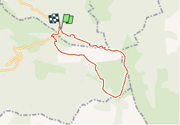

Length
6.8 km

Max alt
1881 m

Uphill gradient
530 m
Km-Effort
13.9 km

Min alt
1398 m

Downhill gradient
546 m
Boucle
Yes
Creation date :
2020-03-10 19:16:57.259
Updated on :
2020-03-10 19:17:44.162
--
Difficulty : Medium

FREE GPS app for hiking
 SityTrail
IGN / Geographical institutes
SityTrail Plus
The world is yours!
About
Trail On foot of 6.8 km to be discovered at Auvergne-Rhône-Alpes, Isère, Percy. This trail is proposed by claude nier.
Description
rando sejour
Positioning
Country:
France
Region :
Auvergne-Rhône-Alpes
Department/Province :
Isère
Municipality :
Percy
Location:
Unknown
Start:(Dec)
Start:(UTM)
706164 ; 4959463 (31T) N.
Comments