


GR 12 de Clamecy à Sancy les Cheminots

VANDERPUTTENMi
User GUIDE
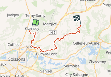

Length
19.5 km

Max alt
162 m

Uphill gradient
372 m
Km-Effort
25 km

Min alt
51 m

Downhill gradient
411 m
Boucle
No
Creation date :
2020-03-11 08:31:51.832
Updated on :
2020-03-11 18:45:54.645
6h19
Difficulty : Very easy

FREE GPS app for hiking
 SityTrail
IGN / Geographical institutes
SityTrail Plus
The world is yours!
About
Trail Walking of 19.5 km to be discovered at Hauts-de-France, Aisne, Clamecy. This trail is proposed by VANDERPUTTENMi.
Description
De beaux passages boisés et de belles vues...
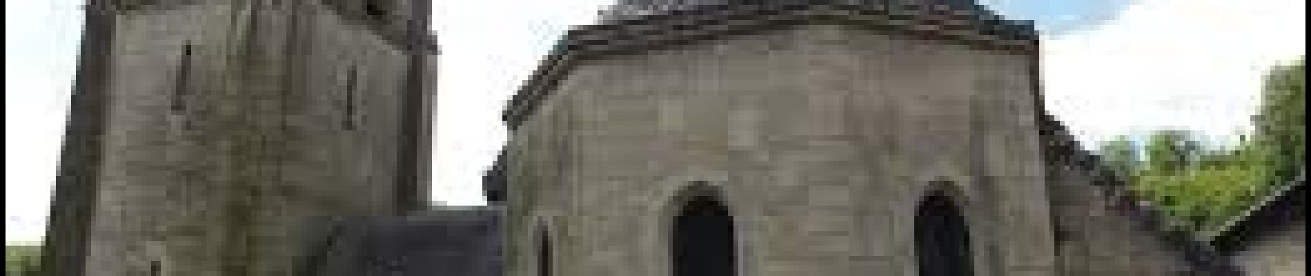
Photos


Positioning
Country:
France
Region :
Hauts-de-France
Department/Province :
Aisne
Municipality :
Clamecy
Location:
Unknown
Start:(Dec)
Start:(UTM)
526201 ; 5475003 (31U) N.
Comments