


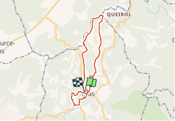


11.1 km | 13.6 km-effort

User


FREE GPS app for hiking
 SityTrail
IGN / Geographical institutes
SityTrail World
The world is yours!
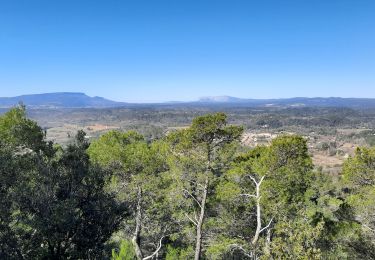
Trail Walking of 15 km to be discovered at Provence-Alpes-Côte d'Azur, Var, Bras. This trail is proposed by Christiancordin.
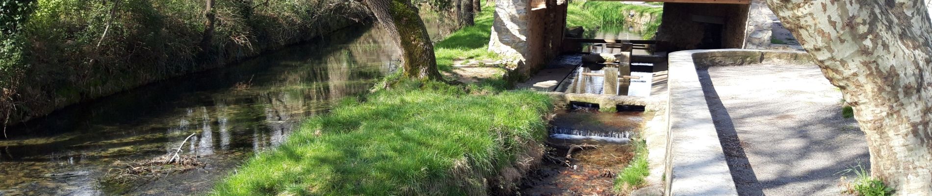
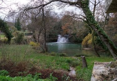
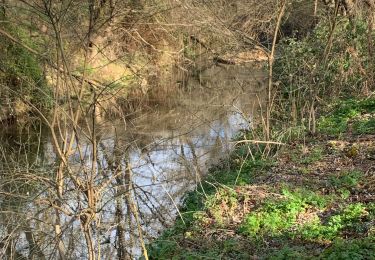
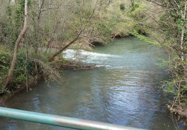
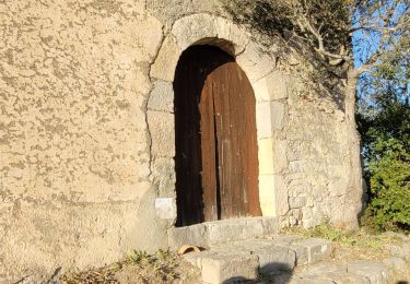
le pigeonnier le gouffre béni la chapelle templiere la chute du tombereau le pont de Sumian les ruines du château chapelle St Pierre.


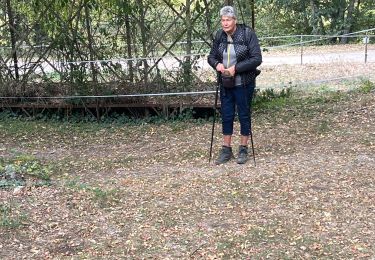
22 photos in total. Please click on a photo to see them all in the gallery.
Walking

sport
Walking
Walking
Walking

Walking

Walking
Walking

Walking