Bras

Christiancordin
User

Length
15 km

Max alt
328 m

Uphill gradient
249 m

Km-Effort
18.3 km

Min alt
249 m

Downhill gradient
251 m
Boucle
Yes
Creation date :
2020-03-13 09:10:17.79
Updated on :
2020-03-13 14:17:59.894
3h33
Difficulty : Easy

FREE GPS app for hiking
About
Trail Walking of 15 km to be discovered at Provence-Alpes-Côte d'Azur, Var, Bras. This trail is proposed by Christiancordin.
Description
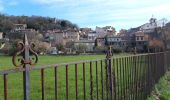
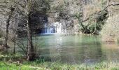
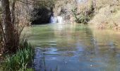
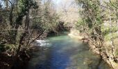
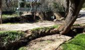
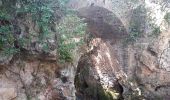
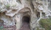
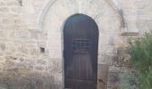
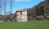
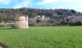
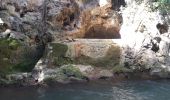
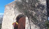
le pigeonnier le gouffre béni la chapelle templiere la chute du tombereau le pont de Sumian les ruines du château chapelle St Pierre.
Positioning
Country:
France
Region :
Provence-Alpes-Côte d'Azur
Department/Province :
Var
Municipality :
Bras
Location:
Unknown
Start:(Dec)
Start:(UTM)
738673 ; 4817516 (31T) N.
Comments


 SityTrail


