


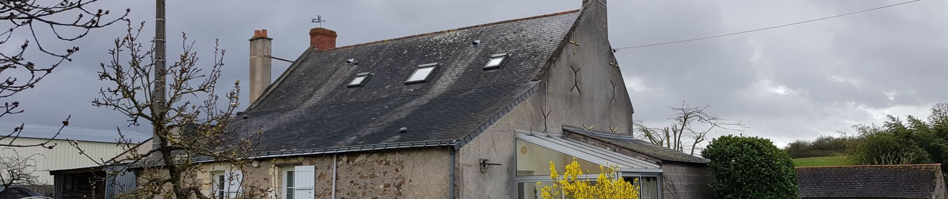
Blaison-Gohier

gmarboeuf
User
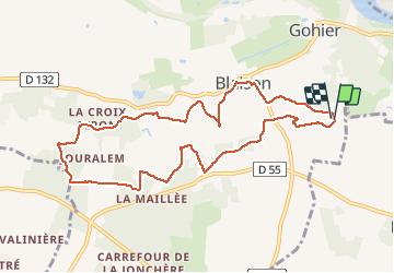

Length
9.7 km

Max alt
85 m

Uphill gradient
142 m
Km-Effort
11.6 km

Min alt
26 m

Downhill gradient
142 m
Boucle
Yes
Creation date :
2020-03-14 08:25:40.65
Updated on :
2020-03-15 14:20:12.817
3h12
Difficulty : Easy

FREE GPS app for hiking
 SityTrail
IGN / Geographical institutes
SityTrail Plus
The world is yours!
About
Trail Walking of 9.7 km to be discovered at Pays de la Loire, Maine-et-Loire, Blaison-Saint-Sulpice. This trail is proposed by gmarboeuf.
Photos


Positioning
Country:
France
Region :
Pays de la Loire
Department/Province :
Maine-et-Loire
Municipality :
Blaison-Saint-Sulpice
Location:
Blaison-Gohier
Start:(Dec)
Start:(UTM)
699421 ; 5252561 (30T) N.
Comments