


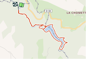

4.9 km | 7.7 km-effort


User


FREE GPS app for hiking
 SityTrail
IGN / Geographical institutes
SityTrail World
The world is yours!
Trail Walking of 5.3 km to be discovered at Auvergne-Rhône-Alpes, Loire, Saint-Romain-les-Atheux. This trail is proposed by Domdomii.
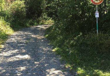
Le chemin est bien nettoyé
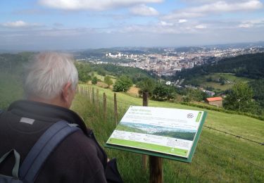
Randonnée à faire en fin de matinée pour profiter du soleil


Walking

Walking
Other activity
Walking

Walking

Walking
Other activity

Running

Running