


2020 03 14 Bessy Sentier des mines

psesjs
User
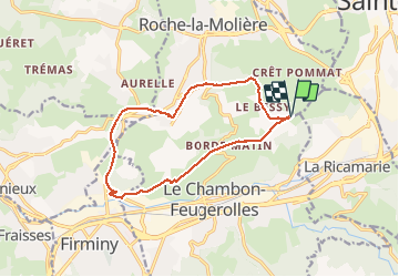

Length
13.4 km

Max alt
681 m

Uphill gradient
286 m
Km-Effort
17.2 km

Min alt
462 m

Downhill gradient
285 m
Boucle
Yes
Creation date :
2020-03-14 12:46:11.921
Updated on :
2020-03-14 16:21:38.105
3h12
Difficulty : Medium

FREE GPS app for hiking
 SityTrail
IGN / Geographical institutes
SityTrail Plus
The world is yours!
About
Trail Walking of 13.4 km to be discovered at Auvergne-Rhône-Alpes, Loire, Roche-la-Molière. This trail is proposed by psesjs.
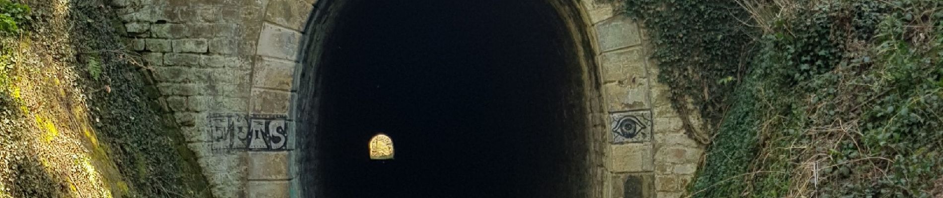
Photos


Positioning
Country:
France
Region :
Auvergne-Rhône-Alpes
Department/Province :
Loire
Municipality :
Roche-la-Molière
Location:
Unknown
Start:(Dec)
Start:(UTM)
605555 ; 5029905 (31T) N.
Comments