


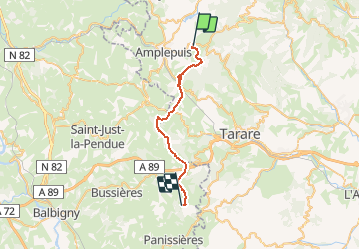
J4 - Monts du lyonnais - Ronno > Violay

aeldin
User

Length
25 km

Max alt
898 m

Uphill gradient
952 m
Km-Effort
37 km

Min alt
500 m

Downhill gradient
853 m
Boucle
No
Creation date :
2020-03-09 09:45:33.412
Updated on :
2020-06-15 18:02:29.43
--
Difficulty : Very easy
--
Difficulty : Very easy

FREE GPS app for hiking
 SityTrail
IGN / Geographical institutes
SityTrail Plus
The world is yours!
About
Trail Fishing of 25 km to be discovered at Auvergne-Rhône-Alpes, Rhône, Ronno. This trail is proposed by aeldin.

Positioning
Country:
France
Region :
Auvergne-Rhône-Alpes
Department/Province :
Rhône
Municipality :
Ronno
Location:
Unknown
Start:(Dec)
Start:(UTM)
606315 ; 5092716 (31T) N.
Comments