


le roux d'abries

Sorriaux
User
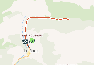

Length
8.4 km

Max alt
2151 m

Uphill gradient
391 m
Km-Effort
13.6 km

Min alt
1760 m

Downhill gradient
394 m
Boucle
Yes
Creation date :
2020-03-17 09:41:59.552
Updated on :
2020-03-17 14:25:08.127
2h57
Difficulty : Medium

FREE GPS app for hiking
 SityTrail
IGN / Geographical institutes
SityTrail Plus
The world is yours!
About
Trail Walking of 8.4 km to be discovered at Provence-Alpes-Côte d'Azur, Hautes-Alpes, Abriès-Ristolas. This trail is proposed by Sorriaux.
Description
400m de dénivelé, longue le torrent direction le col st martin
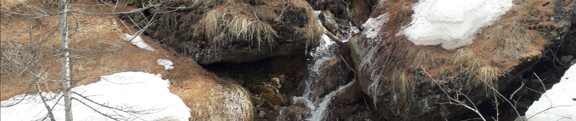
Photos


Positioning
Country:
France
Region :
Provence-Alpes-Côte d'Azur
Department/Province :
Hautes-Alpes
Municipality :
Abriès-Ristolas
Location:
Abriès
Start:(Dec)
Start:(UTM)
337416 ; 4965183 (32T) N.
Comments