Trail Walking Fontain - fontain - fort de Fontain - forêt de Fontain - Photo

fontain - fort de Fontain - forêt de Fontain

© OpenStreetMap contributors
Length
Length
10.9 km
Max alt
Max alt
500 m
Uphill gradient
Uphill gradient
234 m
Km-Effort
Km-Effort  
14 km
Min alt
Min alt
349 m
Downhill gradient
Downhill gradient
234 m
Boucle
Boucle
Yes
Creation date :
2020-03-18 08:55:12.907
Updated on :
2024-04-29 17:19:17.043

(1 Reviews)

Walking
Walking
3h11
Difficulty : Very easy

Scan this QR Code to open this trail in the SityTrail application

FREE GPS app for hiking

Logo SityTrail SityTrail

IGN / Geographical institutes

Download SityTrail from the App Store Download SityTrail from Google Play

Logo SityTrail SityTrail World

The world is yours!

Download SityTrail from the App Store Download SityTrail from Google Play Download SityTrail on Huawei AppGallery

About

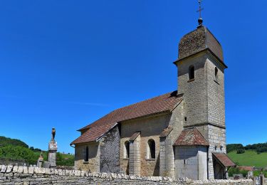
Trail Walking of 10.9 km to be discovered at Bourgogne-Franche-Comté, Doubs, Fontain. This trail is proposed by eltonnermou.

Description

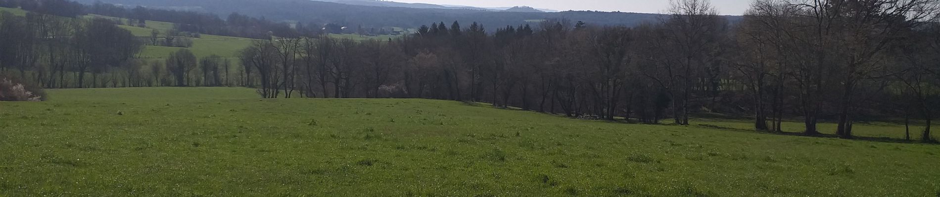
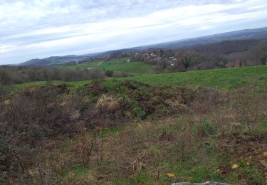
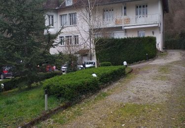
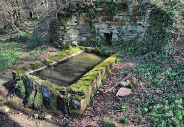
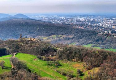
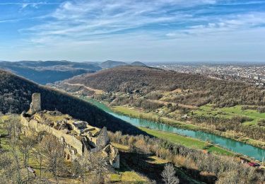
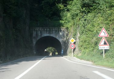
randonnée, pieds propres, très agréable à faire après épisode pluvieux ; par beau temps vue sur les monts du Haut Doubs : mont Poupet, "pointe" de Montmahoux ; un peu de goudron et chemins propres.
Possibilité d'allonger cette rando (d'environ 2km) : à partir du km 2,5 laisser à main gauche ce sentier en continuant sur la trace tout droit, puis délaisser la trace (env km 2,8) en continuant tout droit sur le sentier. Arriver sur une "route", prendre à gauche et rejoindre le chemin "du bas de la Forêt". Au croisement suivant prendre à gauche "le chemin du Rondey", passer "le trou du bois" en poursuivant sur le chemin du Rondey et ainsi rejoindre la trace.

Elevation profile

Photos

Positioning

Country:
France
Region :
Bourgogne-Franche-Comté
Department/Province :
Doubs
Municipality :
Fontain
Location:
Fontain
Start:(UTM)
274607 ; 5231626 (32T) N.

Comments

Please log in to post a review or rate the element


Trails nearby

Trail Walking Beure - Beure de la pisseur au mercureau  - Photo
Walking
eltonnermou

Walking

Difficult
(1)
Beure, Bourgogne-Franche-Comté, Doubs, France
16.8 km | 24 km-effort
3h 48min
Yes
Trail Walking Beure -
Walking
eltonnermou

Walking

Medium
(1)
Beure, Bourgogne-Franche-Comté, Doubs, France
15.7 km | 22 km-effort
6h 35min
Yes
Trail Walking Montfaucon - Du chateau au fort de Monfaucon - Photo
Walking
yew

Walking

Easy
(1)
Montfaucon, Bourgogne-Franche-Comté, Doubs, France
6.9 km | 9.3 km-effort
1h 55min
Yes
Trail On foot Montfaucon - Boucle de Nacra - Photo
On foot
PRO

On foot

Easy
Montfaucon, Bourgogne-Franche-Comté, Doubs, France
3 km | 4.4 km-effort
1h 0min
Yes
Trail On foot Montfaucon - Sentier des Falaises et du château - Photo
On foot
PRO

On foot

Easy
Montfaucon, Bourgogne-Franche-Comté, Doubs, France
5 km | 7.1 km-effort
1h 37min
Yes
Trail On foot Montfaucon - Sentier du Fort et des Batteries - Photo
On foot
PRO

On foot

Easy
Montfaucon, Bourgogne-Franche-Comté, Doubs, France
6.6 km | 8.7 km-effort
1h 58min
Yes
Trail On foot Fontain - Grande Boucle de Fontain - Photo
On foot
PRO

On foot

Easy
Fontain, Bourgogne-Franche-Comté, Doubs, France
10 km | 13.2 km-effort
2h 59min
Yes
Trail On foot Morre - Sentier des Buis - Photo
On foot
PRO

On foot

Easy
Morre, Bourgogne-Franche-Comté, Doubs, France
6.4 km | 9 km-effort
2h 2min
Yes
Trail On foot Fontain - Sentier des Grands Prés - Photo
On foot
PRO

On foot

Easy
Fontain, Bourgogne-Franche-Comté, Doubs, France
6.6 km | 9.6 km-effort
2h 10min
Yes


Close
My subscriptions