


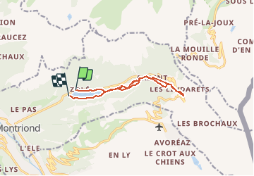
Montriond - Ardent (cascade et village)- Linda rets (Station et remonte pentes)

seghth
User

Length
10.7 km

Max alt
1503 m

Uphill gradient
537 m
Km-Effort
17.9 km

Min alt
1061 m

Downhill gradient
544 m
Boucle
No
Creation date :
2020-03-19 10:51:59.501
Updated on :
2020-03-19 15:26:06.752
3h59
Difficulty : Very easy

FREE GPS app for hiking
 SityTrail
IGN / Geographical institutes
SityTrail Plus
The world is yours!
About
Trail Walking of 10.7 km to be discovered at Auvergne-Rhône-Alpes, Upper Savoy, Montriond. This trail is proposed by seghth.
Description
Boucle
Positioning
Country:
France
Region :
Auvergne-Rhône-Alpes
Department/Province :
Upper Savoy
Municipality :
Montriond
Location:
Unknown
Start:(Dec)
Start:(UTM)
324372 ; 5119952 (32T) N.
Comments