


en confinement.

clozelmarie
User

Length
5.8 km

Max alt
350 m

Uphill gradient
113 m
Km-Effort
7.3 km

Min alt
263 m

Downhill gradient
116 m
Boucle
Yes
Creation date :
2020-03-27 08:09:56.405
Updated on :
2020-03-27 11:13:03.913
1h41
Difficulty : Very easy

FREE GPS app for hiking
 SityTrail
IGN / Geographical institutes
SityTrail Plus
The world is yours!
About
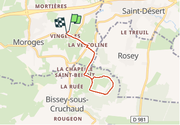
Trail Walking of 5.8 km to be discovered at Bourgogne-Franche-Comté, Saône-et-Loire, Moroges. This trail is proposed by clozelmarie.
Description
vertoline,chemin de Sylvain,
les bois ,retour.
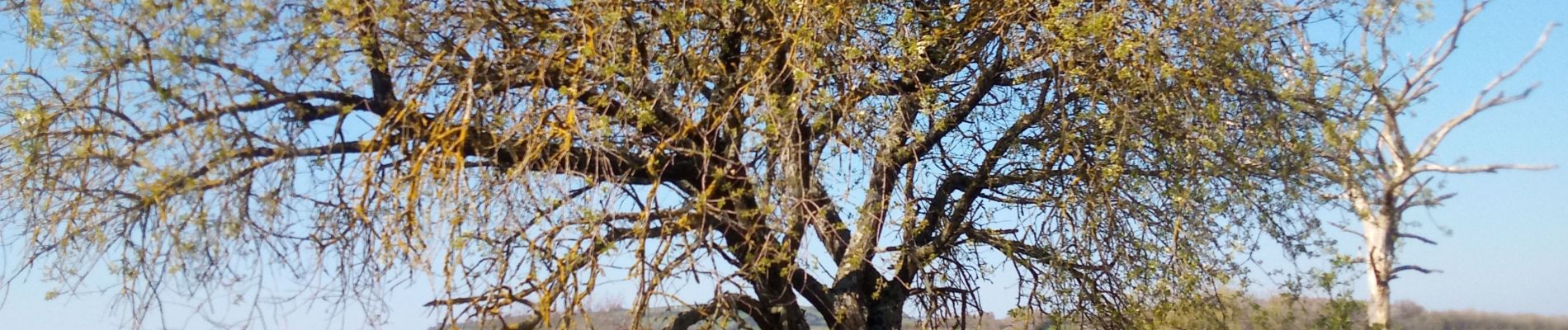
Photos


Positioning
Country:
France
Region :
Bourgogne-Franche-Comté
Department/Province :
Saône-et-Loire
Municipality :
Moroges
Location:
Unknown
Start:(Dec)
Start:(UTM)
628731 ; 5178691 (31T) N.
Comments