


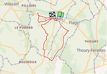

11.1 km | 13 km-effort


User


FREE GPS app for hiking
 SityTrail
IGN / Geographical institutes
SityTrail World
The world is yours!
Trail Walking of 16.1 km to be discovered at Ile-de-France, Seine-et-Marne, Dormelles. This trail is proposed by randodan.
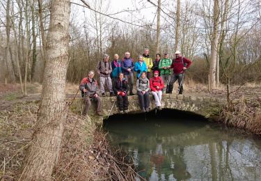
Rando Pot-au-Feu à Dormelles avec Marche et Rêve<br>
- 10 décembre 2013 - 1 an moins 1 jour après la 1ère édition.<br>
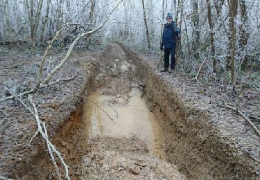
Départ du parking Salle des Fêtes, 9h45 (2 retardataires) . GR de Pays de l´Orvanne jusqu´à la Croix de Ste-Anne, puis traversons la Forêt de la Reine où nous faisons la pause biberon.<br>
Au Bois Perdreau, attiré par les effluves du pot-au-feu, le groupe de tête trouve tout de suite la bonne direction.<br>
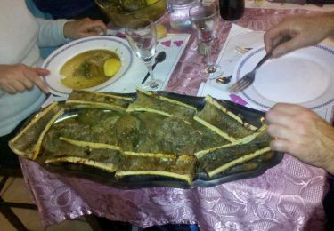
12h40, à l´Auberge du Bocage pour le Pot-au-Feu et son os à moelle.<br>
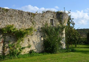
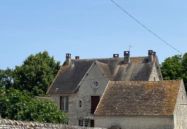
En ressortons à 15h pour une petite boucle digestive jusqu'à la Forteresse de Challeau (XIIe).<br>
Retour par la face nord de Montaigu et le Toboggan . Aux voitures à 16h45.<br>
29 1 participants.


On foot
On foot

Nordic walking

Walking
Walking
Walking
Nordic walking

Walking
Walking