


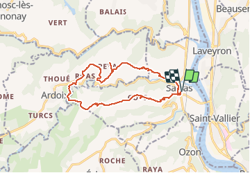

10.9 km | 14.3 km-effort

User


FREE GPS app for hiking
 SityTrail
IGN / Geographical institutes
SityTrail World
The world is yours!
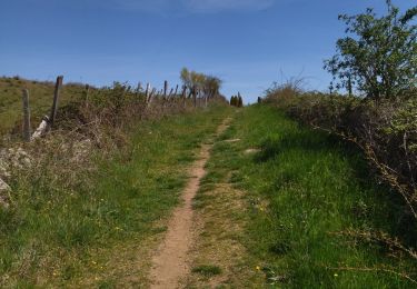
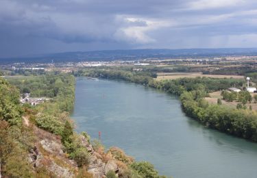
Trail Walking of 15 km to be discovered at Auvergne-Rhône-Alpes, Ardèche, Sarras. This trail is proposed by ageo.
MJC. Rando agréable.


Walking

Mountain bike
Walking

Walking

Via ferrata
Walking

Motor
Walking
Walking
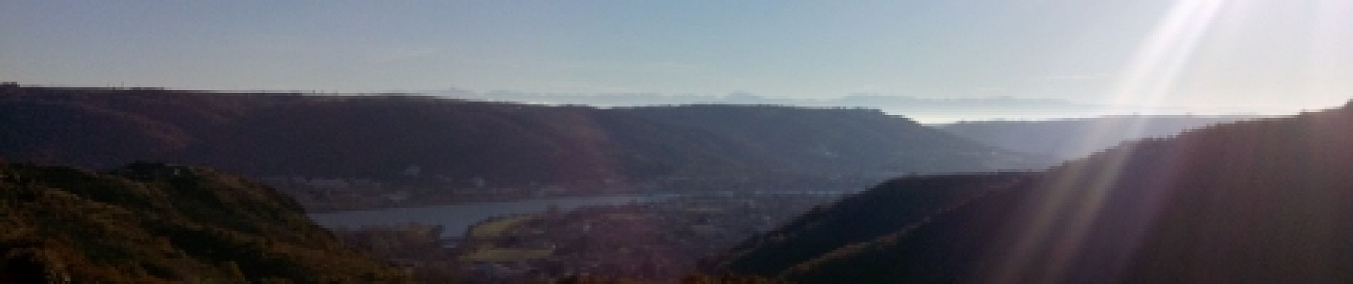
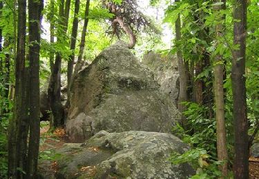
belle couleur d'automne