


joghing

PatriceCocuaud
User
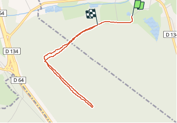

Length
4.1 km

Max alt
326 m

Uphill gradient
50 m
Km-Effort
4.7 km

Min alt
297 m

Downhill gradient
39 m
Boucle
No
Creation date :
2020-04-10 16:09:06.2
Updated on :
2020-04-10 16:39:50.485
30m
Difficulty : Very easy

FREE GPS app for hiking
 SityTrail
IGN / Geographical institutes
SityTrail Plus
The world is yours!
About
Trail Running of 4.1 km to be discovered at Bourgogne-Franche-Comté, Haute-Saône, Franchevelle. This trail is proposed by PatriceCocuaud.
Positioning
Country:
France
Region :
Bourgogne-Franche-Comté
Department/Province :
Haute-Saône
Municipality :
Franchevelle
Location:
Unknown
Start:(Dec)
Start:(UTM)
309492 ; 5290250 (32T) N.
Comments