


ste madeleine

bernir
User
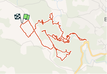

Length
10.7 km

Max alt
352 m

Uphill gradient
284 m
Km-Effort
14.5 km

Min alt
230 m

Downhill gradient
286 m
Boucle
Yes
Creation date :
2020-04-13 10:35:38.476
Updated on :
2020-04-14 08:12:48.874
5h37
Difficulty : Easy

FREE GPS app for hiking
 SityTrail
IGN / Geographical institutes
SityTrail Plus
The world is yours!
About
Trail Walking of 10.7 km to be discovered at Provence-Alpes-Côte d'Azur, Var, Barjols. This trail is proposed by bernir.
Description
recherche du sentier de dédé et de toinou entre les "hauts defends "et "ste madeleine"
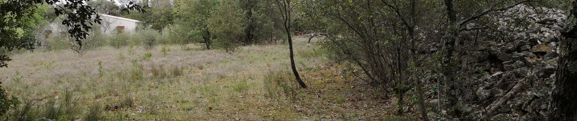
Photos


55 photos in total. Please click on a photo to see them all in the gallery.
Positioning
Country:
France
Region :
Provence-Alpes-Côte d'Azur
Department/Province :
Var
Municipality :
Barjols
Location:
Unknown
Start:(Dec)
Start:(UTM)
740665 ; 4827008 (31T) N.
Comments