


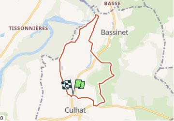

14.1 km | 15.9 km-effort

User GUIDE


FREE GPS app for hiking
 SityTrail
IGN / Geographical institutes
SityTrail World
The world is yours!
Trail Walking of 7.2 km to be discovered at Auvergne-Rhône-Alpes, Puy-de-Dôme, Culhat. This trail is proposed by jagarnier.
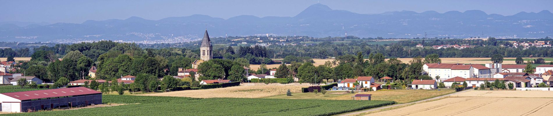
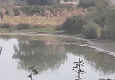
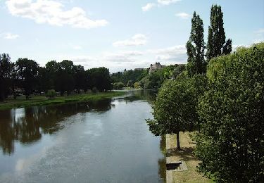
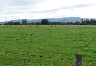
Ce circuit vous offre de nombreux points de vue sur la chaîne des Puys et le massif du Sancy.
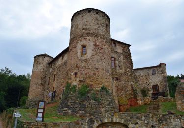
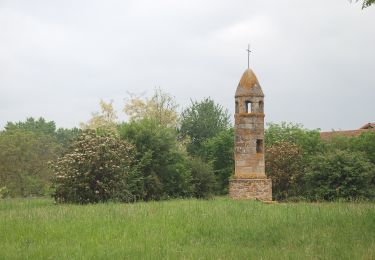
Vous découvrirez l’église de Saint-Vosy ou ND de l’Assomption, bâtie au XIéme siècle, qui fait partie des monuments remarquables du roman.
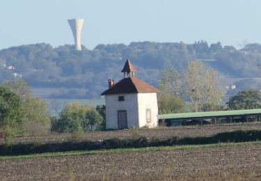
Vous pourrez aussi admirer la lanterne des morts de Culhat (XIIéme) qui continue d'alimenter bien des recherches. Elle veillerait sur les morts et guiderait les vivants.

On foot
On foot

Cycle
Walking
On foot
![Trail Walking Crevant-Laveine - [Itinéraire] Entre Crevant et Laveine - Photo](https://media.geolcdn.com/t/375/260/ext.jpg?maxdim=2&url=https%3A%2F%2Fmedia.geolcdn.com%2Ff%2F6fa182a0-77c3-4ab4-a1f7-73c600d86e47.png)
Walking
Walking
Walking
Walking