


st Benoît.

clozelmarie
User
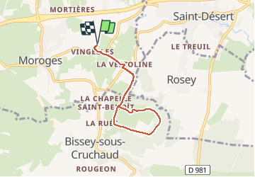

Length
6 km

Max alt
352 m

Uphill gradient
116 m
Km-Effort
7.6 km

Min alt
263 m

Downhill gradient
115 m
Boucle
Yes
Creation date :
2020-04-18 07:39:47.395
Updated on :
2020-04-18 10:13:00.335
2h00
Difficulty : Very easy

FREE GPS app for hiking
 SityTrail
IGN / Geographical institutes
SityTrail Plus
The world is yours!
About
Trail Walking of 6 km to be discovered at Bourgogne-Franche-Comté, Saône-et-Loire, Moroges. This trail is proposed by clozelmarie.
Description
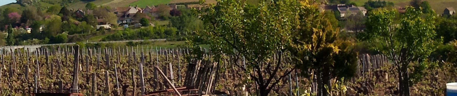
début des volets.
Photos


Positioning
Country:
France
Region :
Bourgogne-Franche-Comté
Department/Province :
Saône-et-Loire
Municipality :
Moroges
Location:
Unknown
Start:(Dec)
Start:(UTM)
628735 ; 5178710 (31T) N.
Comments