


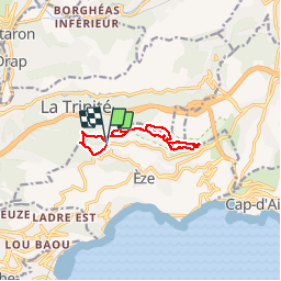

10.3 km | 16.7 km-effort


User


FREE GPS app for hiking
 SityTrail
IGN / Geographical institutes
SityTrail World
The world is yours!
Trail Walking of 9.9 km to be discovered at Provence-Alpes-Côte d'Azur, Maritime Alps, Èze. This trail is proposed by legios84.
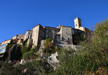
Col de eze

Walking

On foot

Walking

Other activity
Walking
Walking
Walking

Walking
Walking
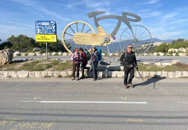
bon réveil musculaire et oculaire si temps degager