


balade confinement

gilbertdu60
User

Length
3.6 km

Max alt
100 m

Uphill gradient
74 m
Km-Effort
4.6 km

Min alt
29 m

Downhill gradient
74 m
Boucle
Yes
Creation date :
2020-04-26 14:37:42.161
Updated on :
2020-04-26 15:44:01.226
54m
Difficulty : Very easy

FREE GPS app for hiking
 SityTrail
IGN / Geographical institutes
SityTrail Plus
The world is yours!
About
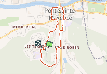
Trail Walking of 3.6 km to be discovered at Hauts-de-France, Oise, Pont-Sainte-Maxence. This trail is proposed by gilbertdu60.
Positioning
Country:
France
Region :
Hauts-de-France
Department/Province :
Oise
Municipality :
Pont-Sainte-Maxence
Location:
Unknown
Start:(Dec)
Start:(UTM)
470934 ; 5460250 (31U) N.
Comments