


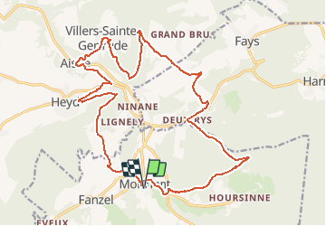


16.8 km | 22 km-effort

Randonnez sur et autour des GR ® wallons (Sentiers de Grande Randonnée). PRO


FREE GPS app for hiking
 SityTrail
IGN / Geographical institutes
SityTrail World
The world is yours!
Trail Walking of 22 km to be discovered at Wallonia, Luxembourg, Érezée. This trail is proposed by GR Rando.
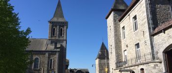
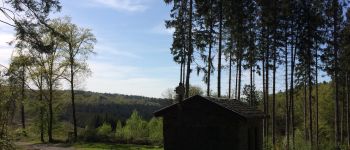
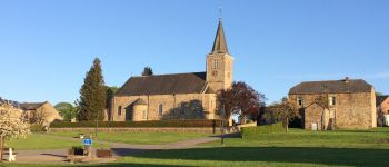
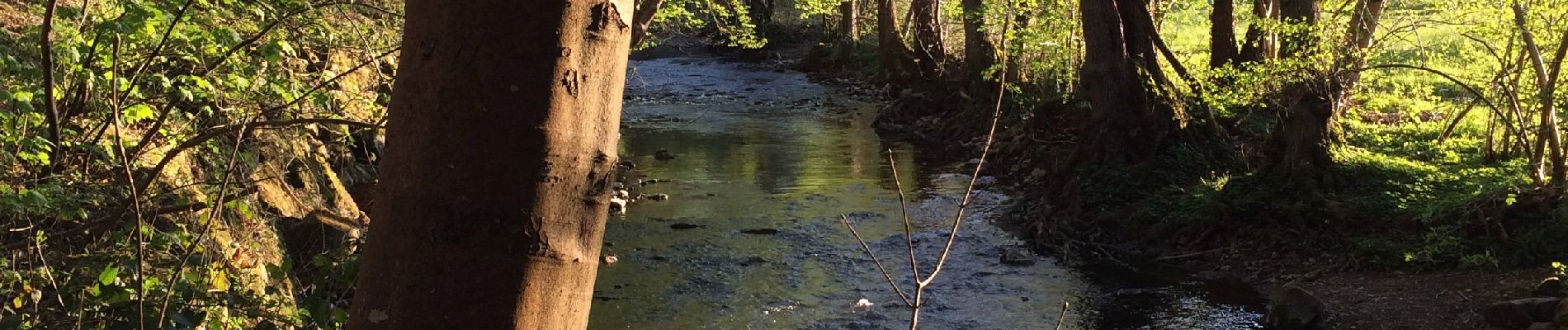
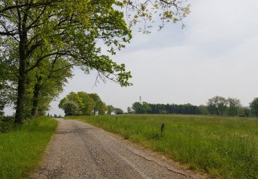
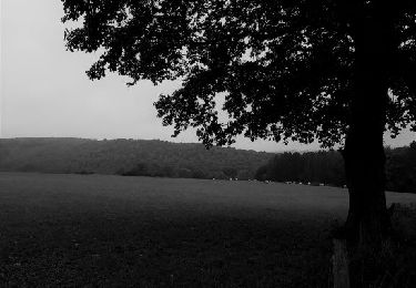
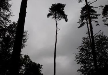
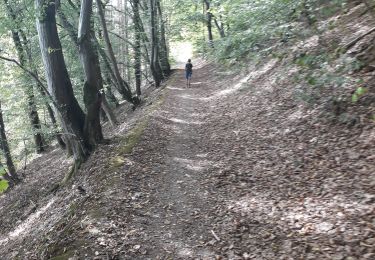
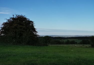
Dans les collines de la vallée de l’Aisne
Cette boucle traverse les paysages diversifiés de la vallée de l’Aisne. Elle enjambe collines et rivières, traverse landes, forêts et bocages et offre de larges panoramas sur cette région située à la jonction de l’Ardenne et de la Famenne. Elle croise la Calestienne, zone de plissement géologique fortement marquée par l’affleurement d’une bande de poudingue à l’endroit des rochers de Roche à Frêne et du chemin des crêtes. Une grande variété d’arbres et de plantes enrichit son parcours


Walking

Walking

Walking
Walking
Walking
Walking
Walking
Walking
Walking
Attention, janvier 2024 pont sur l’Aisne toujours pas réparé
Superbe !!
belle balade vue superbe.merci au concepteur