


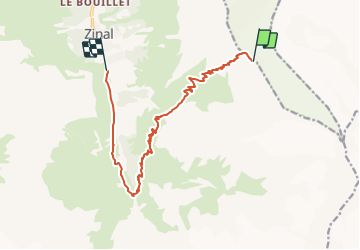

23 km | 41 km-effort


User


FREE GPS app for hiking
 SityTrail
IGN / Geographical institutes
SityTrail World
The world is yours!
Trail Other activity of 13.6 km to be discovered at Valais/Wallis, Sierre, Anniviers. This trail is proposed by pawenger.
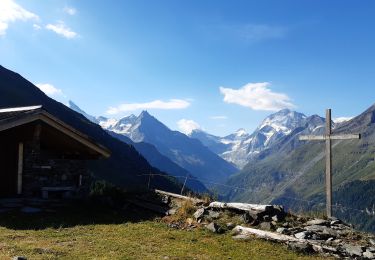
Vom Grat der Hütte gehts erst steil durch eine Scharte hinab und dann leicht bis zum Roc dela Vache. Unterhalb der Hütte sind teilweise verwehte harte Firnplatten, die das Fahren mit schwerem Rucksack erschweren.
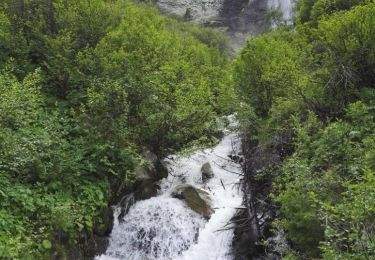
Vom Rock dela Vache (Sattel) gehts den Spuren folgend immer geradeaus hinab, bis der Wald beginnt. Im Wald ist es teils halsbrecherisch, steil, viele Kuhlen und Löcher, dichtes Unterholz. Links halten und möglichst eine angelegte Spur für Schneeschuhwanderer nutzen. Weiter unten über Brücke und dann auf linker Talseite (Gegenüberliegende Talseite) hinab bis zum Parkplatz in der letzten Serpentine (kostenlos!).
Walking
Walking
Walking

Walking
Walking
Walking

Other activity

Other activity
Walking