


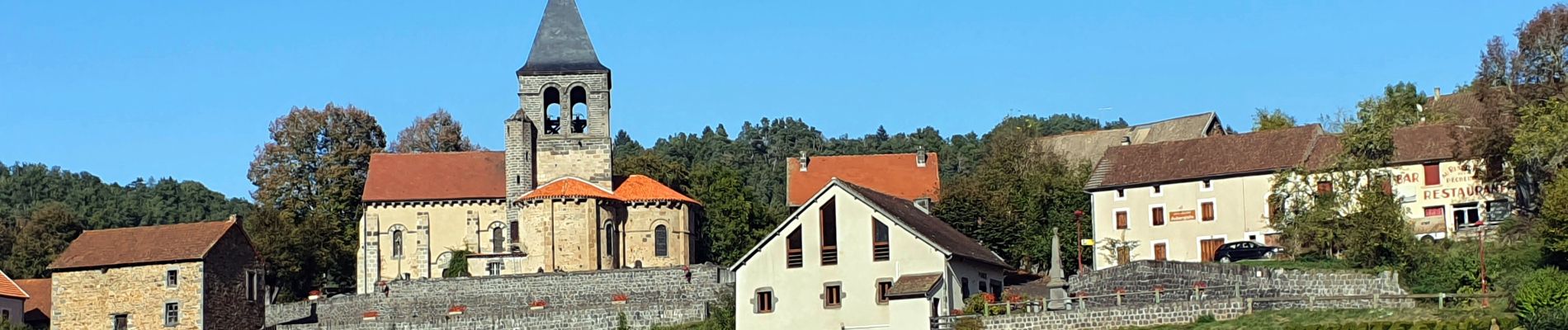
Montfermy_Foret_Chartreuse

jagarnier
User GUIDE
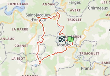


5h00
Difficulty : Medium

FREE GPS app for hiking
 SityTrail
IGN / Geographical institutes
SityTrail Plus
The world is yours!
About
Trail Walking of 17 km to be discovered at Auvergne-Rhône-Alpes, Puy-de-Dôme, Montfermy. This trail is proposed by jagarnier.
Description
Depuis Montfermy, son site et sa précieuse église, vous longerez les méandres de la Sioule jusqu'au ruines de la chartreuse de Port Sainte Marie. Vous entrerez dans les terres que les chartreux, les bénédictins et les seigneurs locaux exploitèrent au mieux.
Photos

Positioning
Comments