Trail Walking Prompsat - 
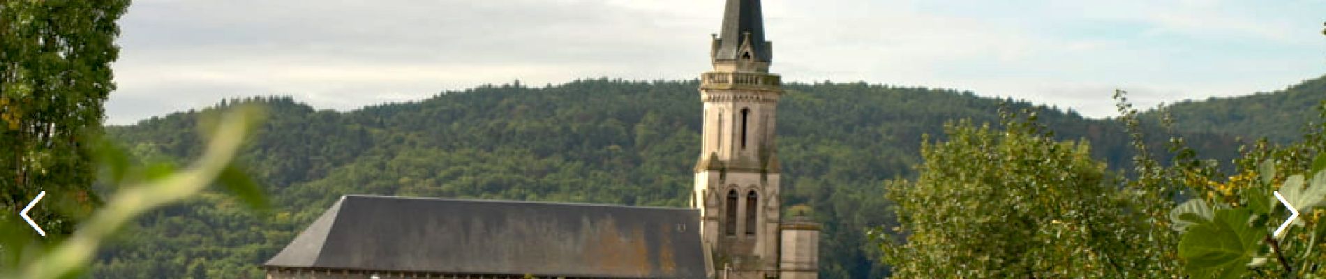
Prompsat_Trois_Clochers - Photo
 jagarnier
jagarnier

User GUIDE

© OpenStreetMap contributors
Length
Length
6.9 km
Max alt
Max alt
525 m
Uphill gradient
Uphill gradient
170 m
Km-Effort
Km-Effort  
9.2 km
Min alt
Min alt
372 m
Downhill gradient
Downhill gradient
170 m
Boucle
Boucle
Yes
Creation date :
2020-05-07 08:11:45.32
Updated on :
2024-09-25 12:35:54.387

(0 Reviews)

Walking
Walking
2h00
Difficulty : Easy

Scan this QR Code to open this trail in the SityTrail application

FREE GPS app for hiking

Logo SityTrail SityTrail

IGN / Geographical institutes

Download SityTrail from the App Store Download SityTrail from Google Play

Logo SityTrail SityTrail Plus

The world is yours!

Download SityTrail from the App Store Download SityTrail from Google Play Download SityTrail on Huawei AppGallery

About

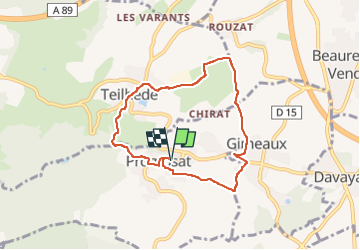
Trail Walking of 6.9 km to be discovered at Auvergne-Rhône-Alpes, Puy-de-Dôme, Prompsat. This trail is proposed by jagarnier.

Description

Cette rando traverse Prompsat, Teilhède et Gimeaux, trois villages typiques des Combrailles entourés de cultures céréalières et de vignes. On y apprécie de belles vues sur la plaine de la Limagne.

Elevation profile

Photos

Positioning

Country:
France
Region :
Auvergne-Rhône-Alpes
Department/Province :
Puy-de-Dôme
Municipality :
Prompsat
Location:
Unknown
Start:(UTM)
506189 ; 5088360 (31T) N.


Close
My subscriptions