


1ere Balade 11 mai 2020

gilbertdu60
User
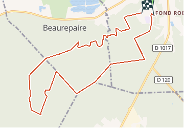

Length
10.9 km

Max alt
124 m

Uphill gradient
179 m
Km-Effort
13.3 km

Min alt
63 m

Downhill gradient
182 m
Boucle
No
Creation date :
2020-05-11 18:24:06.967
Updated on :
2020-05-12 15:24:45.466
--
Difficulty : Easy

FREE GPS app for hiking
 SityTrail
IGN / Geographical institutes
SityTrail Plus
The world is yours!
About
Trail On foot of 10.9 km to be discovered at Hauts-de-France, Oise, Pont-Sainte-Maxence. This trail is proposed by gilbertdu60.
Description
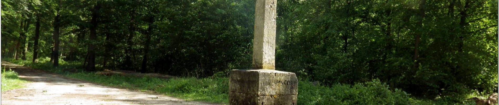
Balade forestière, après 2 mois et demi de confinement
Cette randonnée est proposée par G.Daflon
Photos


Positioning
Country:
France
Region :
Hauts-de-France
Department/Province :
Oise
Municipality :
Pont-Sainte-Maxence
Location:
Unknown
Start:(Dec)
Start:(UTM)
470596 ; 5460305 (31U) N.
Comments