Rochers de la Croix de fer par la Combe de l Euse

chris13370
User
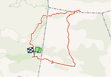

Length
10.9 km

Max alt
611 m

Uphill gradient
416 m
Km-Effort
16.5 km

Min alt
252 m

Downhill gradient
423 m
Boucle
Yes
Creation date :
2020-05-12 07:50:37.14
Updated on :
2020-05-13 09:19:25.699
4h00
Difficulty : Easy

FREE GPS app for hiking
 SityTrail
IGN / Geographical institutes
SityTrail Plus
The world is yours!
About
Trail Walking of 10.9 km to be discovered at Provence-Alpes-Côte d'Azur, Vaucluse, Cheval-Blanc. This trail is proposed by chris13370.
Description
au départ du parking de la Font de l Orme.
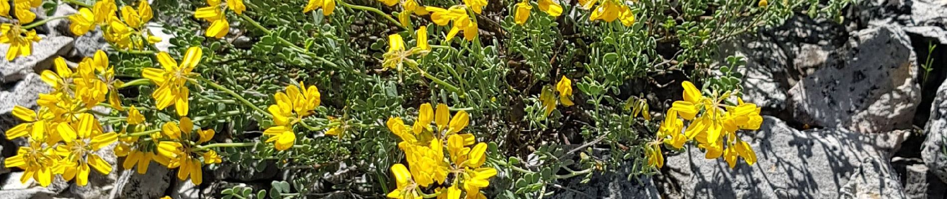
Photos


Positioning
Country:
France
Region :
Provence-Alpes-Côte d'Azur
Department/Province :
Vaucluse
Municipality :
Cheval-Blanc
Location:
Unknown
Start:(Dec)
Start:(UTM)
676282 ; 4849163 (31T) N.
Comments