


Fond grand ma modette

sameja
User
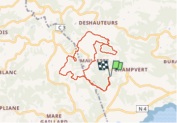

Length
12.8 km

Max alt
116 m

Uphill gradient
381 m
Km-Effort
17.8 km

Min alt
25 m

Downhill gradient
381 m
Boucle
Yes
Creation date :
2020-05-13 10:16:32.0
Updated on :
2020-05-13 12:35:23.788
2h00
Difficulty :

FREE GPS app for hiking
 SityTrail
IGN / Geographical institutes
SityTrail Plus
The world is yours!
About
Trail Nordic walking of 12.8 km to be discovered at Guadeloupe, Unknown, Sainte-Anne. This trail is proposed by sameja.
Description
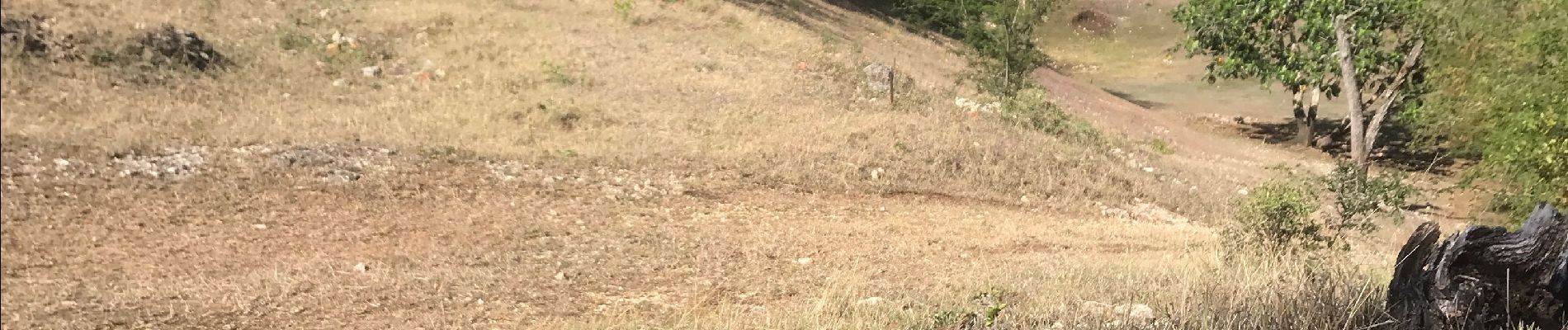
La boucle st anne
Photos


Positioning
Country:
France
Region :
Guadeloupe
Department/Province :
Unknown
Municipality :
Sainte-Anne
Location:
Unknown
Start:(Dec)
Start:(UTM)
668912 ; 1794909 (20Q) N.
Comments