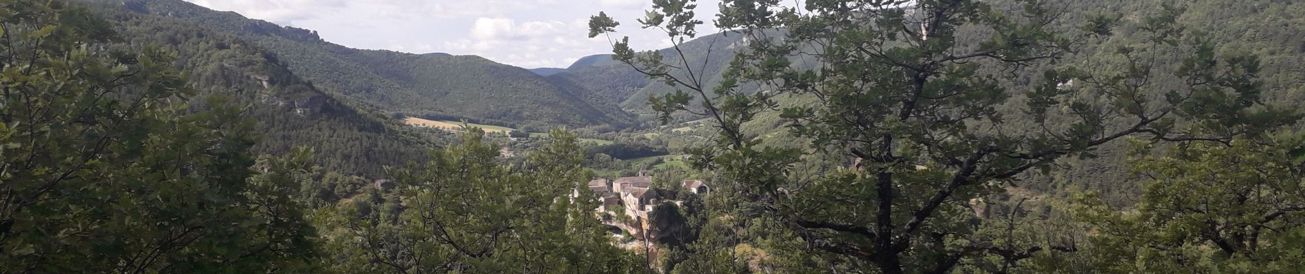
CANTOBRE vers causse NOIR

CASSISFRAMBOISE
User


Length
13.9 km

Max alt
865 m

Uphill gradient
689 m
Km-Effort
23 km

Min alt
436 m

Downhill gradient
689 m
Boucle
Yes
Creation date :
2020-05-14 15:24:14.232
Updated on :
2020-08-05 11:10:52.611
--
Difficulty : Medium

FREE GPS app for hiking
 SityTrail
IGN / Geographical institutes
SityTrail Plus
The world is yours!
About
Trail On foot of 13.9 km to be discovered at Occitania, Aveyron, Nant. This trail is proposed by CASSISFRAMBOISE.
Photos

Positioning
Country:
France
Region :
Occitania
Department/Province :
Aveyron
Municipality :
Nant
Location:
Unknown
Start:(Dec)
Start:(UTM)
524660 ; 4878286 (31T) N.
Comments